Video Surveillance
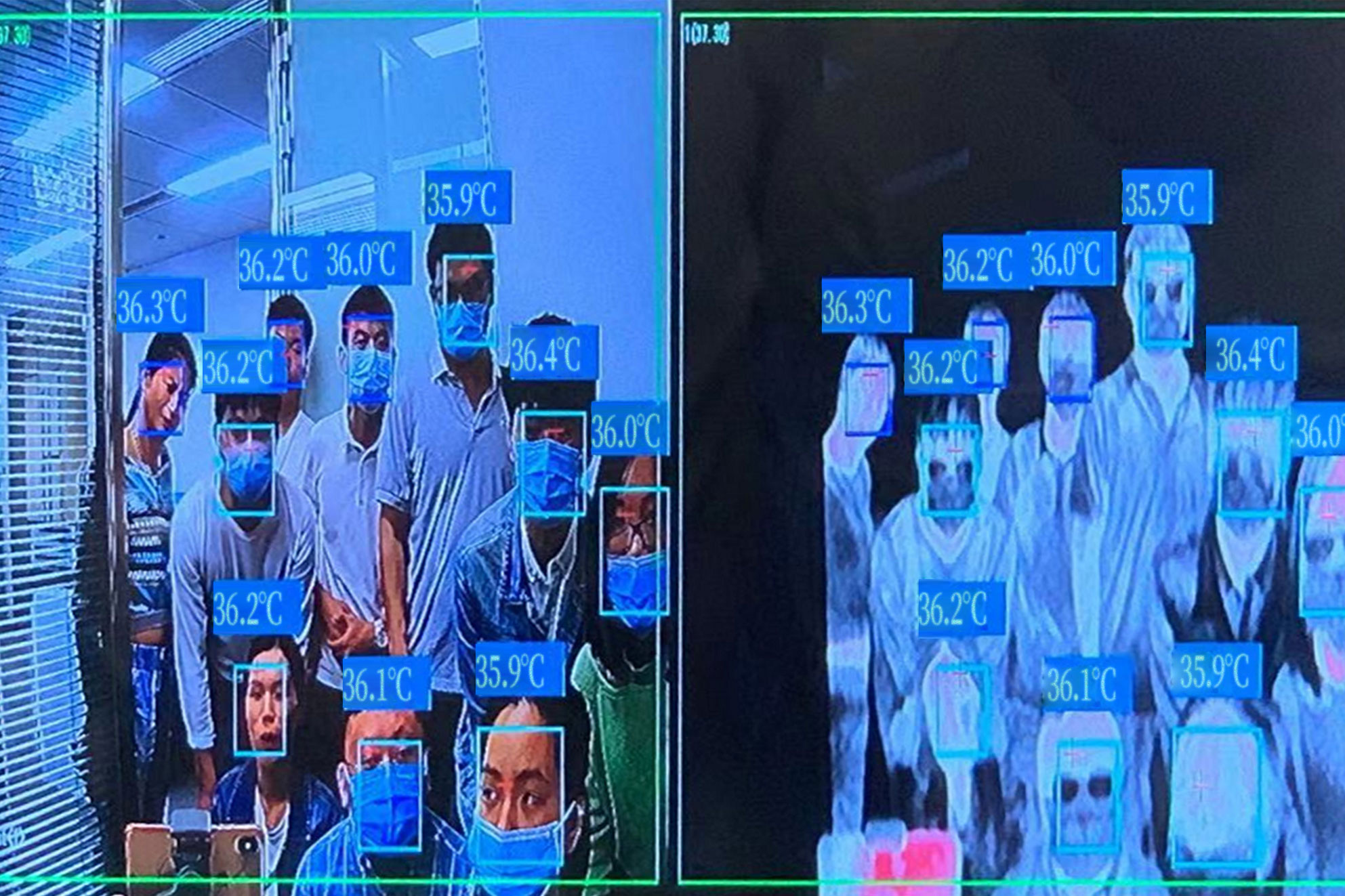
Bi-spectrum information fusion
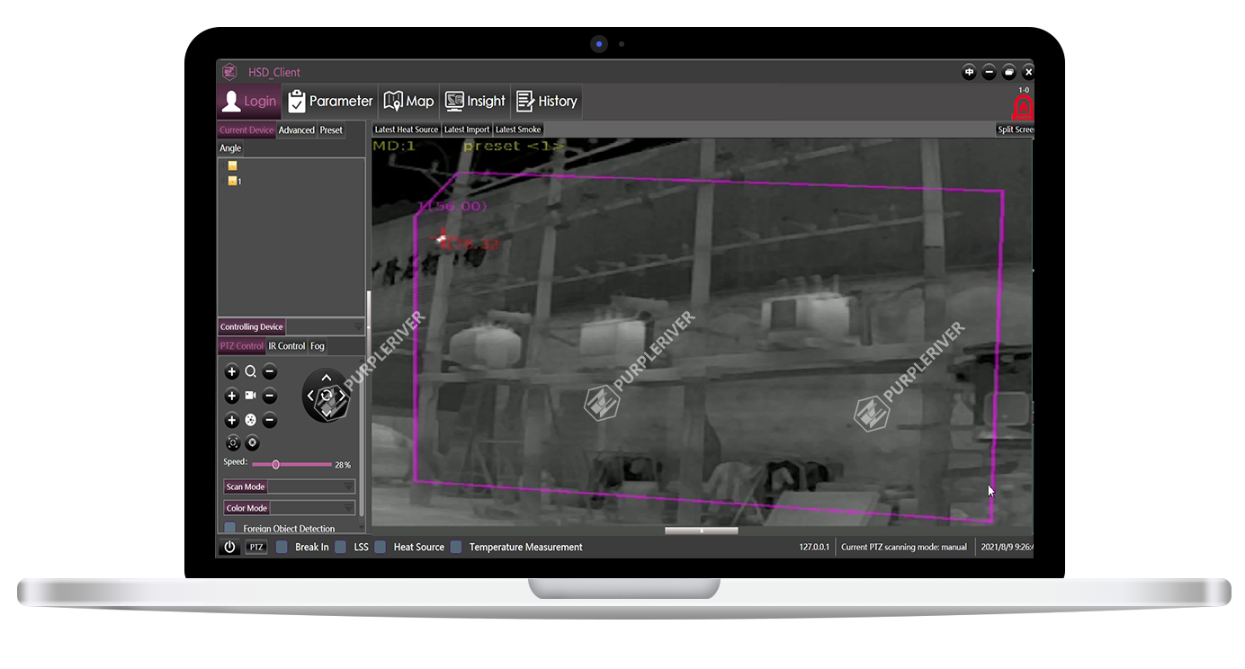
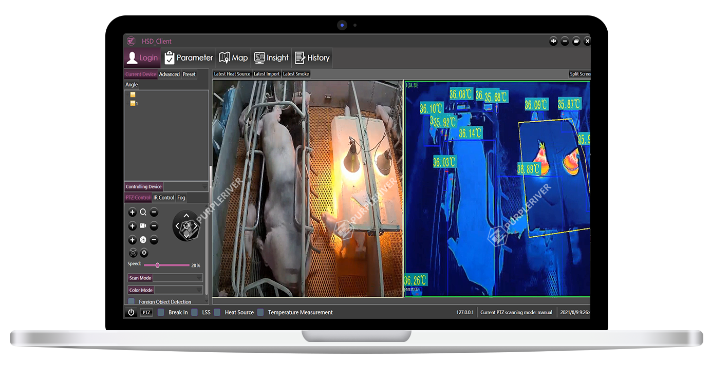
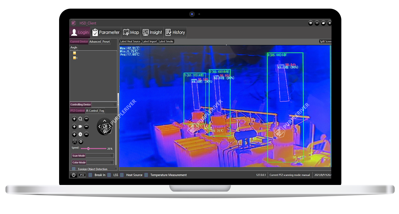
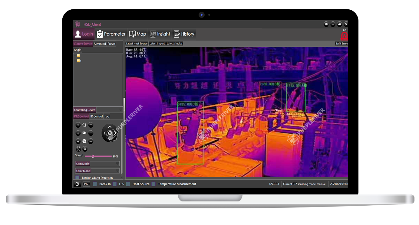
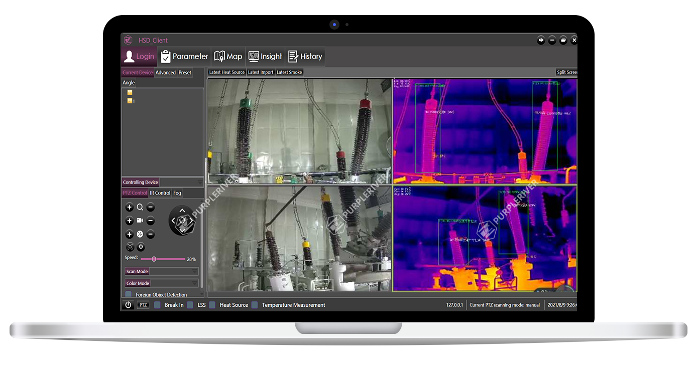
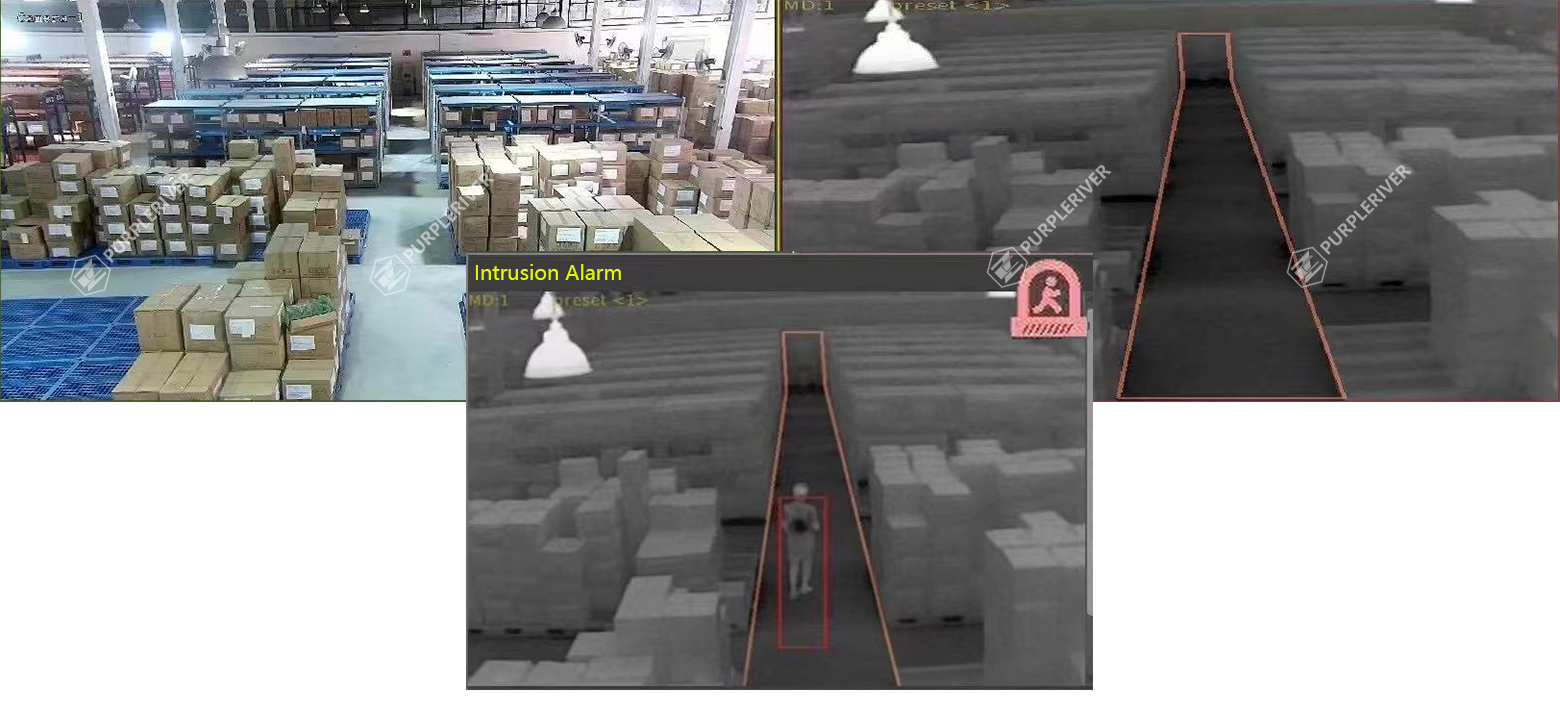
The device is equipped with thermal imaging and optical lens, where the two kinds of machine vision reach information fusion in the same field of view. The information fusion helps realize a variety of intelligent linkage functions, and provide more accurate monitoring information for various scenes.

Fog penetration
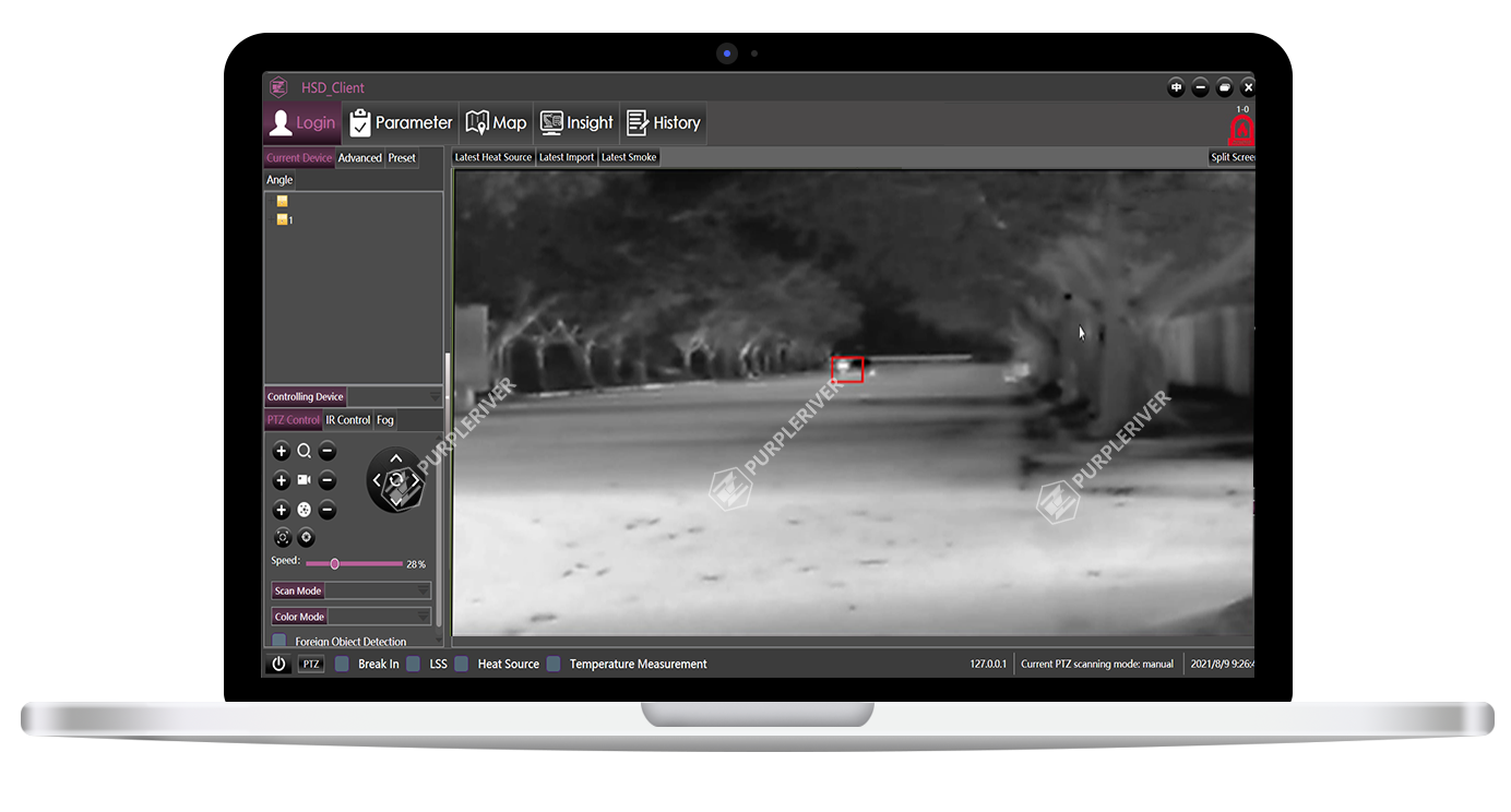
The system can penetrate fog, and produce clear images under the interference of smoke and water vapor.
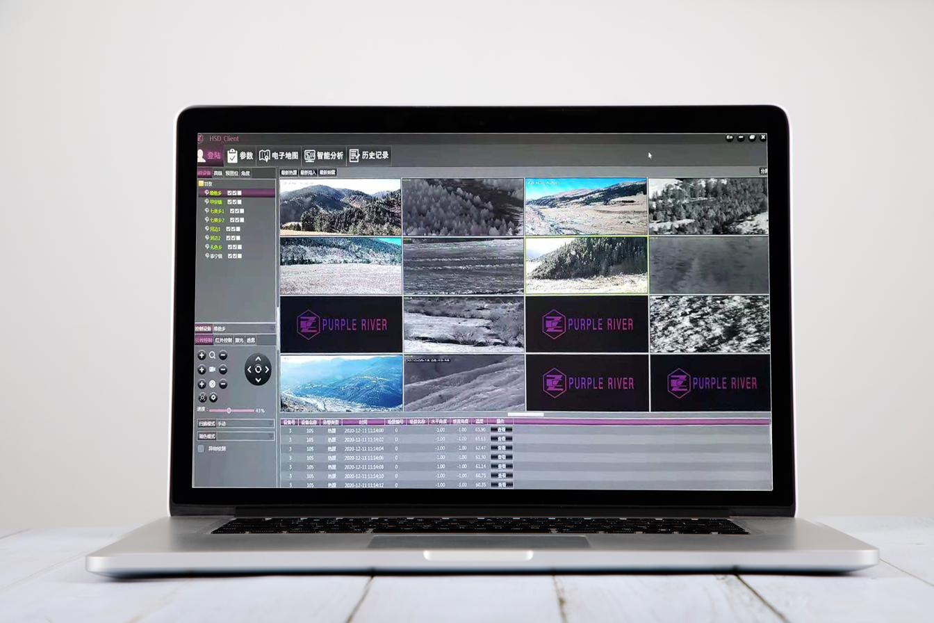
Spilt screen on one monitor
The system supports access to multiple video streams. So the monitor can be divided into 4 / 6 / 9 / 16 / 32 spilt screens, where all the front-end devices can be managed at the same time.
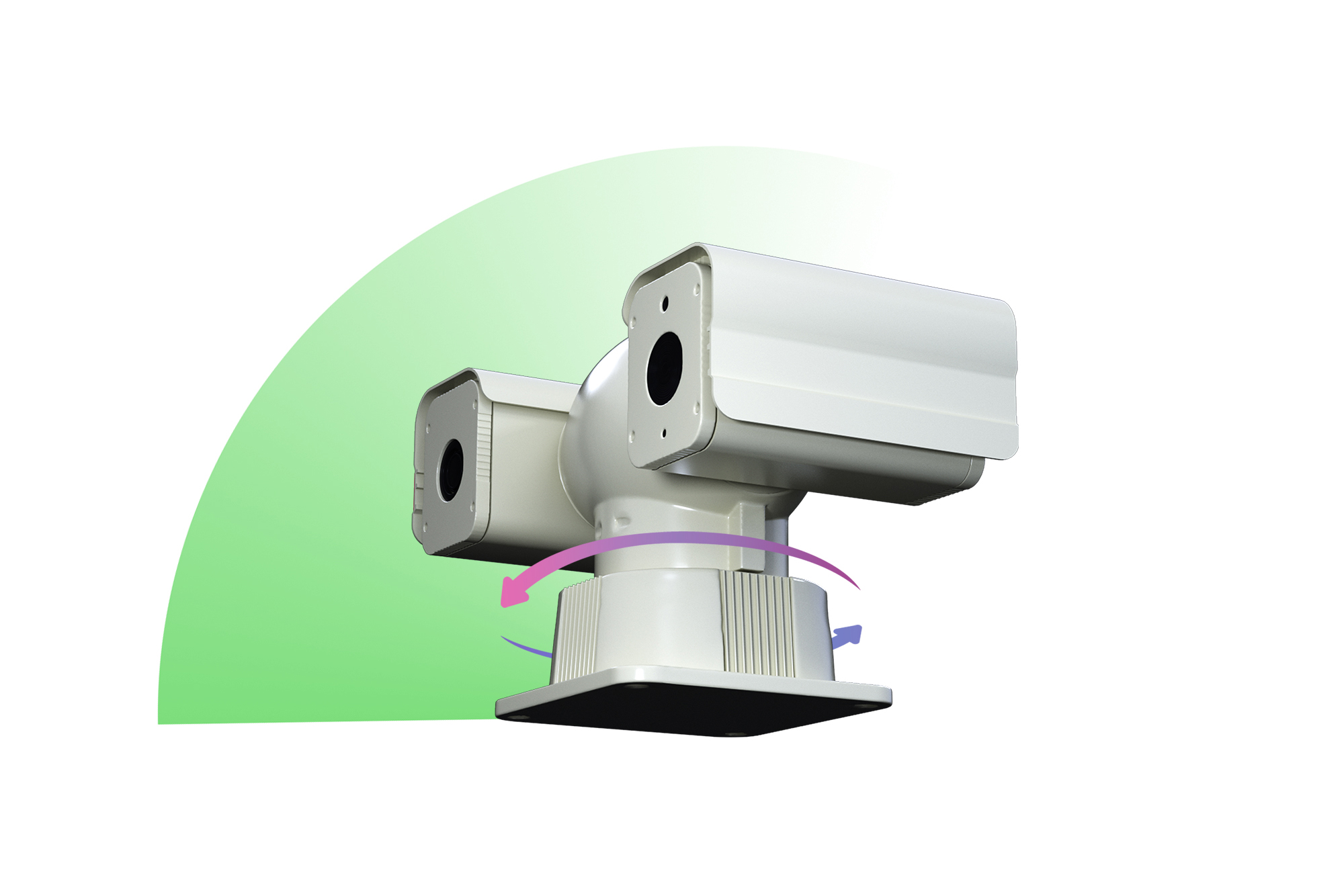
PTZ scan and patrol
Users can set the scanning mode for devices with PTZ: manual scanning or automatic scanning. The automatic scanning mode includes preset position patrol, angle patrol and angle panorama patrol. Up to 8 lines can be set, and each patrol line can contain up to 256 preset positions.
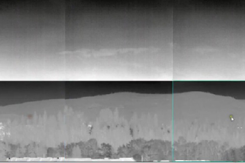
Panorama stitching
The system can splice the images produced by the front-end devices through scanning and get a 360 ° panorama picture, providing users with a full range of view space.
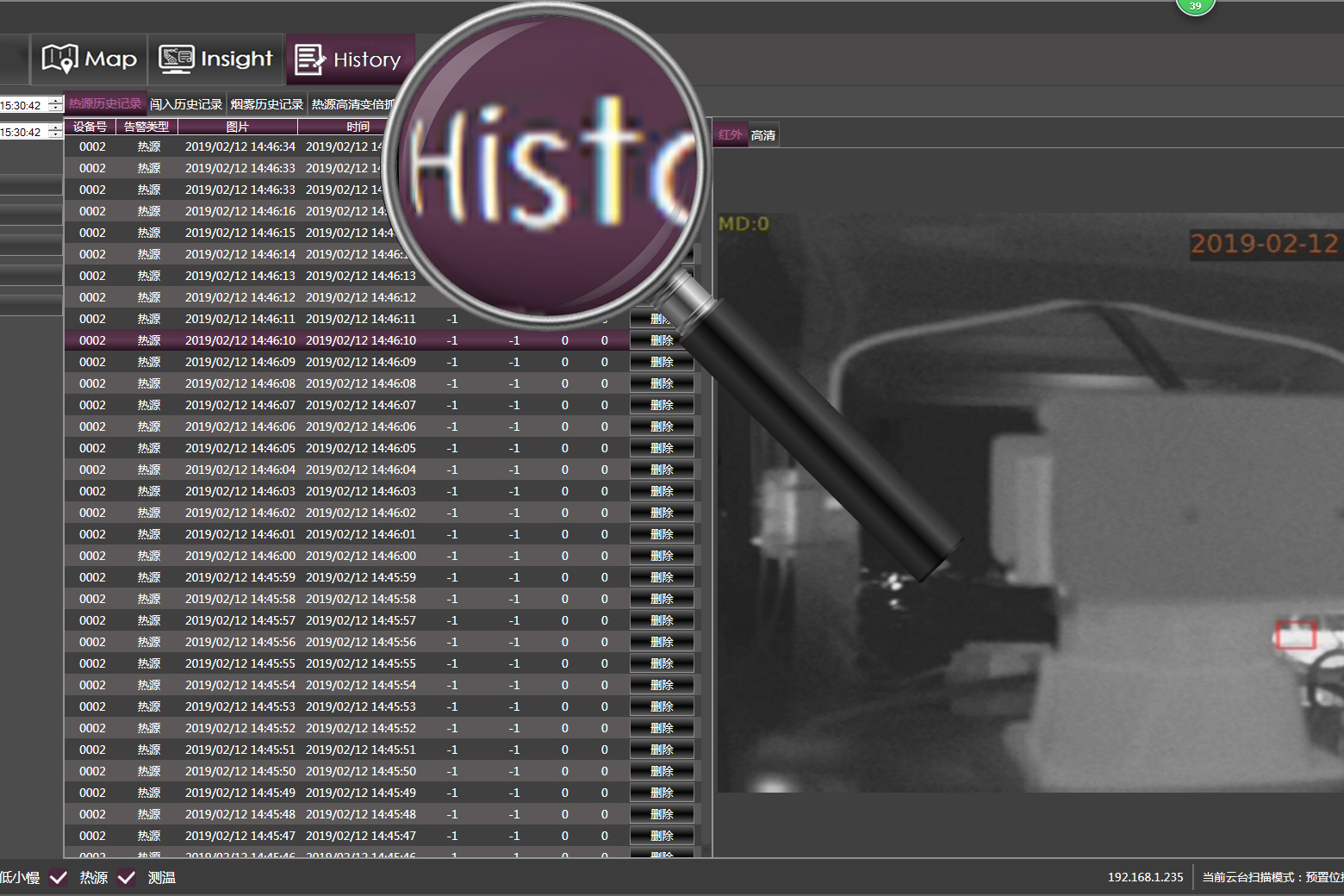
Information playback
The information generated by the devices will be stored in the system database. Users can query, view records, play back videos at any time, and output the records in the form of reports.
Accurate Measurement
Event Analysis
Geographic Information System
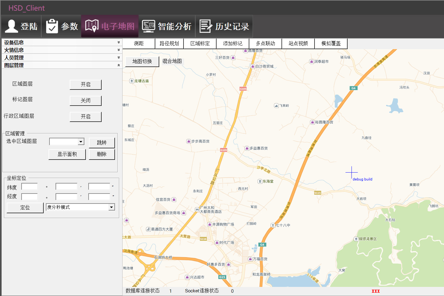
Map tool
The system includes GIS map tools where users can view the terrain, roads and other multi-dimensional information. At the same time, it can also realize the functions of ranging, path planning, area calculation, marking and so on.
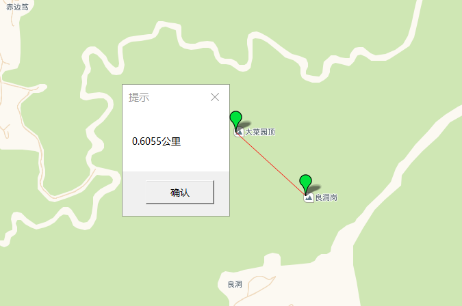
Ranging
Once the user sets the start point and end point on the map, the system ranges the straight-line distance between the set two points.
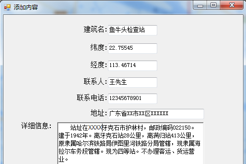
Marking
The GIS system can mark the site where the device is installed, and manage information includes name, sites, contact number, address information and so on.
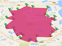
Area calculation
Users can draw a polygon to designate the certain area on the map, and the GIS system will calculate and display the size of the area.
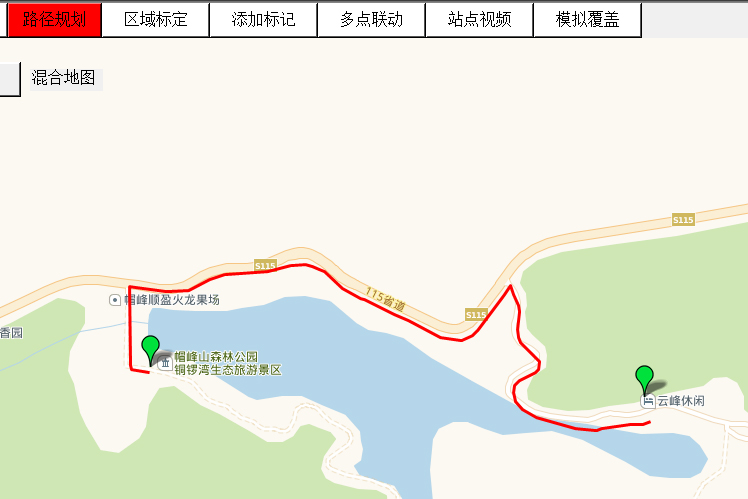
Path planning
When users set the start point and the end point on the map, the shortest navigation path is automatically generated and displayed.
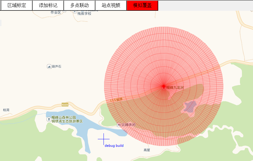
Simulation coverage
The system can automatically identify the latitude, longitude and altitude of the site. By setting the height and coverage area of the device, users can get the simulation of the coverage range in different colors.
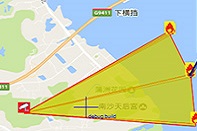
Event location
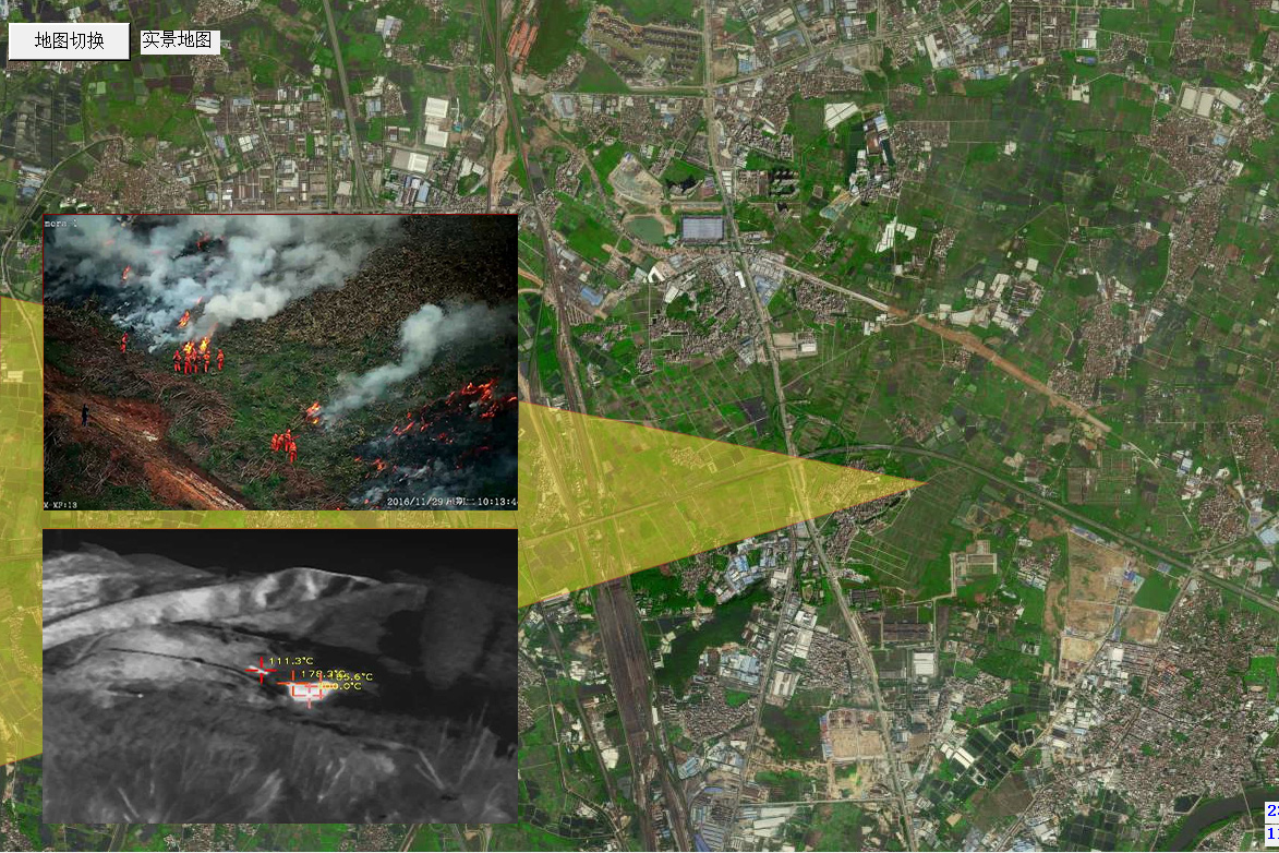
Through the comprehensive calculation of DEM elevation data, the system can present the location coordinates of alarm events in the form of 2D and 3D map information.
History
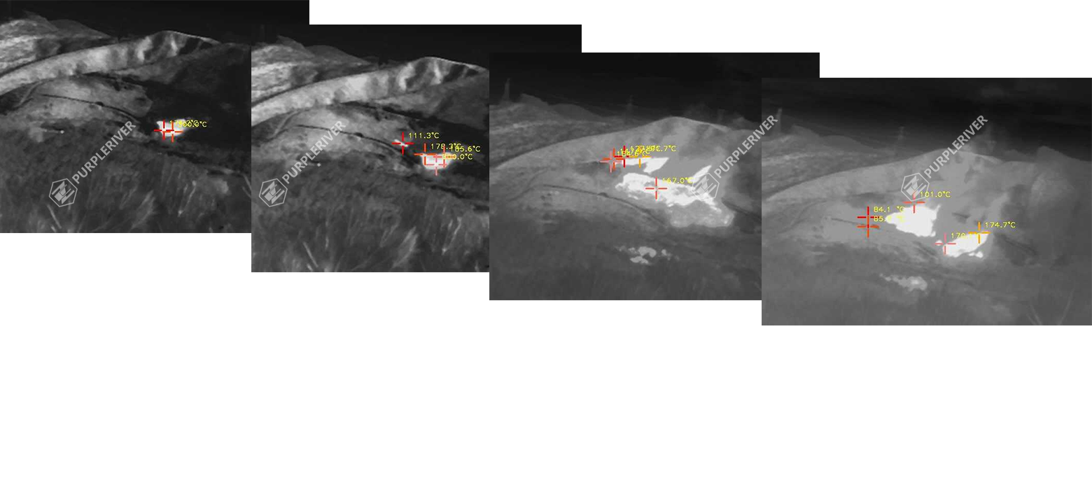
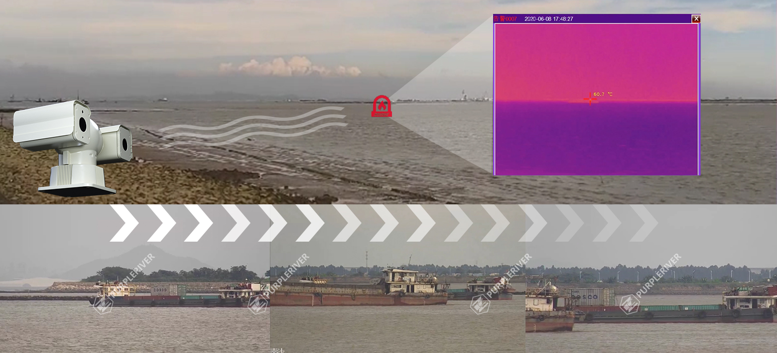
The historical information of the fire event such as time, location, pictures and video, which is stored in the device can be recalled and playbacked at any time.
Platform Management
External linkage
The devices include RJ45, RS485, BNC, HDMI, WIFI and 4G interfaces, and also support passive signal output. Our system can stably fit in with various active and passive mechanisms to achieve efficient linkage with other external systems.
Open API
All the function is provided API and users can invoke functions through the SDK. Our system supports video streaming protocols such as ONVIF, RTSP, etc., and also supports industrial standard protocols such as GB28281 and B protocol.
Mobile platform
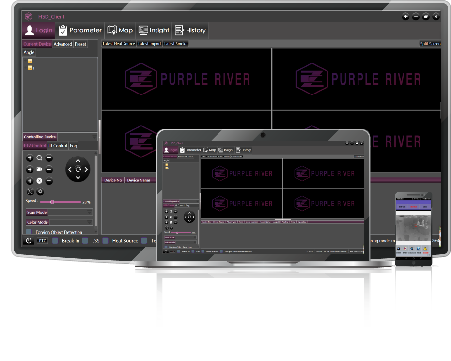
Users can access the system through Windows or Android, and get real-time data, video screens, map information, etc. The system supports account management, and different levels of access authority can be set for different accounts.
Contact us
 Sales hotline
Site:8th Floor, Caihui Center,Huangge Town,Nansha District,Guangzhou, Guangdong, China
E-mail:justin.lu@purpleriver.cn


